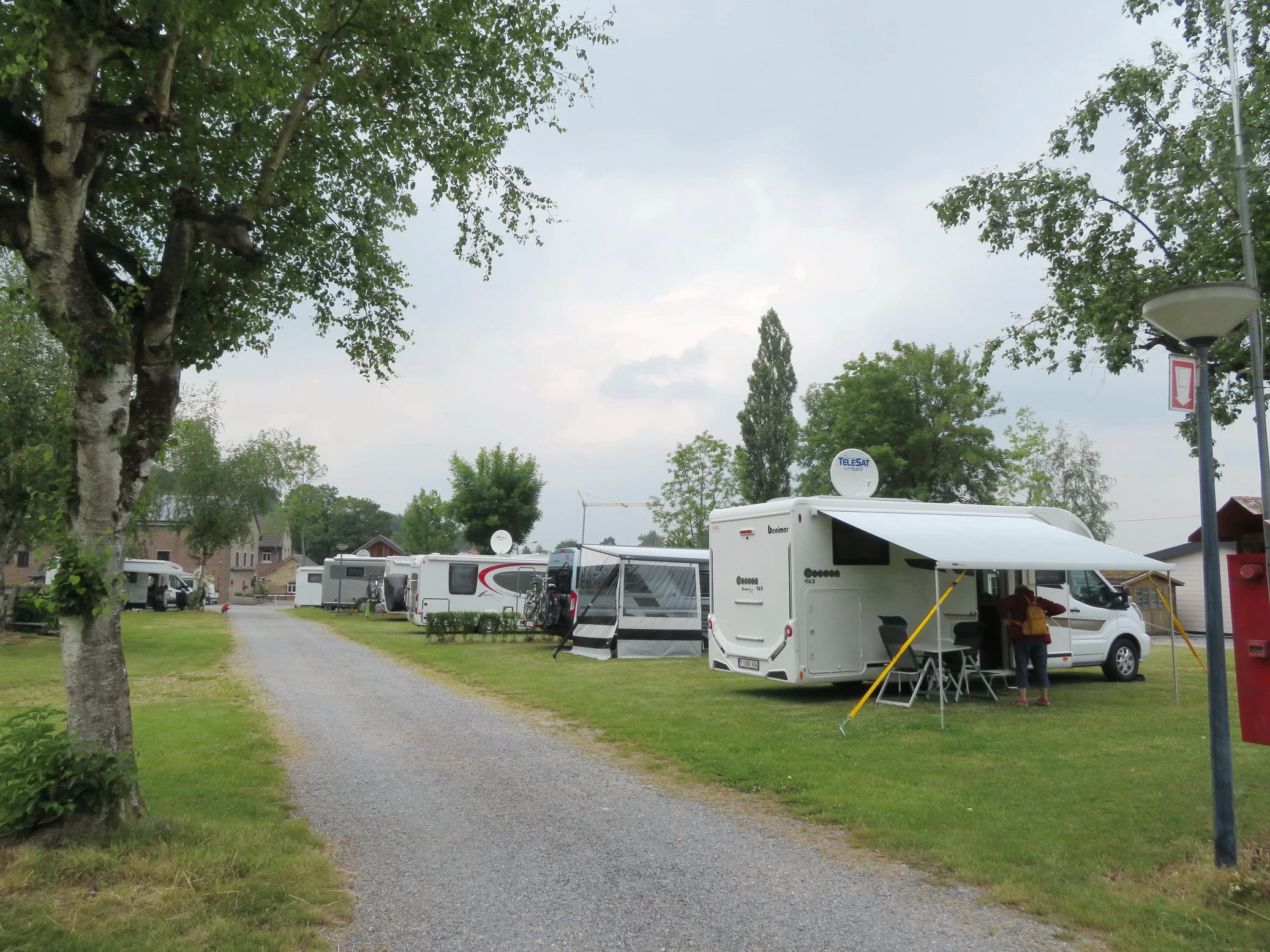
Camping Natuurlijk Limburg - Roodbos 3, 3791 Remersdaal - acsi € 18.5 / night (tourist tax (TT) included)) - all facilities, a sanitary block is a column where water can be taken (€ 1) and toilet cassette can be emptied, but on the campsite there are taps where water can be refilled - very nice and clean sanitary facilities - bread service - restaurant with tasty dishes - all villages are within cycling distance - supermarkets 5 km in Aubel - quiet campsite on the edge of the forest, walking routes departing from the campsite, very friendly owners.
Camping Eau zone - Rue de Fonzays 10, 6990 Hotton - GPS: N 50.27095, E 5.43833 - acsi 18 € / night (electricity included) - very spacious pitches - water at the pitches (but most taps were closed) - outdated campsite with old plumbing, there was no hot water when we were there; the gas bottles were empty! Have the impression that not much is done on camping anymore, all attention goes to the other domain of the same owners, especially in the low season - located on the Ourthe - village at 500m; the discharge point for the gray water is also located there. Is an official camper place in the Rue du Batty (behind the church) -
Camping Halliru - Halliru 1, 6830 Bouillon - 19.5 € / night - facilities, no discharge point gray water - beautiful pitches on the banks of the Semois - you stand among the residential residents, can be noisy - sanitary block outdated but clean - jeton shower 1.5 €, hot water more than sufficient - is located higher up, which is always climbing - hiking trail to centre of Bouillon, 2km
Le Palis - Official camper place - Le Routi 25, 6830 Rochehaut - GPS: N 49.84156, E 5.01073 - 39pl / 15 € - all amenities included - beautiful pitches on gravel, with a strip of grass on the camper - very friendly and helpful manager - you can can be booked and is quickly full at special moments - village with many restaurants at 100m
We made most of the trips on foot from the various campsites and motorhome stops. In the municipalities we visited with the motorhome we found a decent parking space:
's Gravenvoeren: Parking' s Gravenisjes - Boomstraat 29, 3798 's-Gravenvoeren - GPS: N 50.75658, E 5.76013 - is also an official camper stopover: 20pl, but there may be more campers as it is a mixed parking - no facilities - 150m from Centre
Sint-Pieters-Voeren: Sint-Pieterstraat, 3792 Voeren - car park at the church, there can be several campers.
Tilff: we parked in the Quai de l'Ourthe, a side street that ends at the Ourthe - the centre was 750m away - but there are several parking options.
La Roche-en-Ardenne: we parked in the paying car park Rue du Balloir 5, which was possible as it was not busy. Most of the parking spaces in the centre are only suitable for passenger cars.
Chassepierre: parking is available everywhere in the village.